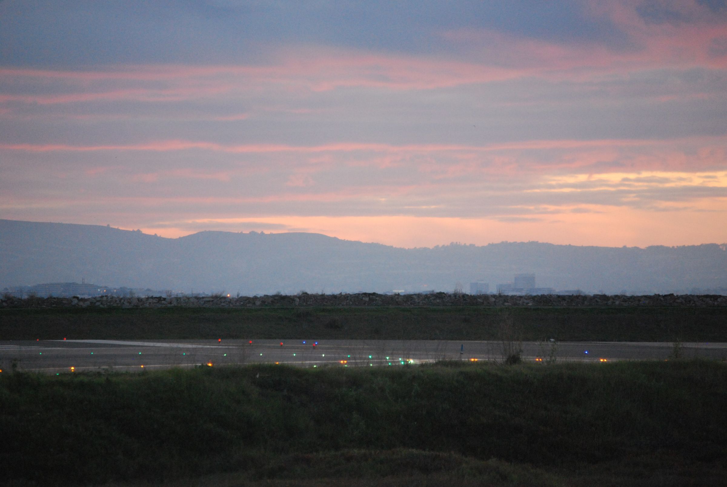
Regional airport · Morgantown, United States
Morgantown Municipal/Walter L Bill Hart Field
- Elevation
- 1,248 ft
- Coordinates
- 39°39′N 79°55′W
- Local time
- America/New York
Photo: Bill Abbott · CC BY-SA 2.0 · Wikimedia Commons
Field information
KMGW runways, fuel & airport data
Reference data compiled from public aeronautical sources. Our OCC confirms the operational details for your flight before dispatch.
Morgantown Municipal/Walter L Bill Hart Field (KMGW/MGW) has one runway, 18/36, 5,199 ft (1,585 m) long of asphalt. Fuel on the field: Jet A-1 & Avgas. Rescue and fire-fighting cover is published as ARFF index A. Operating hours: Mon-Fri 1000-0500Z; Sat-Sun 1000-0400Z. Our OCC arranges ground handling, landing permits and fuel at KMGW, and confirms every figure on this page with the airport and handler before dispatch.
Classification
Regional airport
Time zone
America/New York
Country
United States
US
Municipality
Morgantown
Elevation
1,248 ft
Position
39.6433, -79.9176
Traffic level
High
Fuel
Jet A-1 & Avgas
Fire & rescue
ARFF index A
Operating hours
Mon-Fri 1000-0500Z; Sat-Sun 1000-0400Z
Runways · KMGW
| Runway | Length | Width | Surface | Lighting |
|---|---|---|---|---|
| 18/36 | 5,199 ft (1,585 m) | 150 ft | asphalt | Lighted |
Flight support
Ground handling, permits & fuel at KMGW.
The Network Plan coordinates flight support at Morgantown Municipal/Walter L Bill Hart Field (KMGW / MGW) in Morgantown, United States of America, through one 24/7 OCC desk. KMGW is listed in our network as a regional airport. Before dispatch, our OCC verifies permit lead times, slot availability, and local handler capabilities.
Services coordinated at KMGW
One 24/7 OCC desk
- 01
Overflight & Landing Permits – United States of America
Efficient coordination of overflight, landing, ad hoc, and seasonal block permit applications with the civil aviation authority of United States of America. Applicable permit lead times for United States of America are confirmed by the duty dispatcher at the time of request. For airline operators, navigation fee verifications, overflight charge audits, and CAA account reconciliations for United States of America are managed end-to-end.
- 02
Ground Handling at KMGW
Direct FBO and handler coordination at KMGW covering ramp parking, towing, GPU/ACU support, CIQ formalities, and real-time operational updates.
- 03
Fuel Arrangements at KMGW
Competitive into-plane pricing, secure fuel releases, and credit arrangements through major oil suppliers and local distributors worldwide. Availability at KMGW is confirmed by the duty dispatcher at the time of request.
- 04
Flight Planning & Dispatch to KMGW
Optimized routing, weather analysis, NOTAM review, fuel planning, and flight plan filing supported by continuous 24/7 OCC monitoring. Planning reference for KMGW: 39° 38′ 36″ N 79° 55′ 3″ W; elevation 1248 ft.
- 05
Crew & Passenger Services in Morgantown
Ground transportation, hotel reservations, visa assistance, and expedited meet & greet for crews operating into Morgantown. Complete passenger handling coordination covering check-in, boarding, special assistance, and CIQ formalities at KMGW.
- 06
Cargo Operations at KMGW
Support for freighter operations into KMGW covering ULD logistics, ramp and slot coordination, dangerous goods coordination, and rapid turnarounds.
Location
Where KMGW sits in the network
Nearest airports in our network
- KCKBNorth Central West VirginiaClarksburg, United States25 NM215°→
- KPITPittsburgh InternationalPittsburgh, United States53 NM344°→
- KJSTJohn Murtha Johnstown/Cambria CountyJohnstown, United States64 NM051°→
- KPKBMid Ohio Valley RegionalParkersburg, United States73 NM256°→
- KAOOAltoona/Blair CountyAltoona, United States83 NM061°→
- KSHDShenandoah Valley RegionalStaunton, United States96 NM150°→
Operating into KMGW?
Our 24/7 OCC arranges permits, ground handling, fuel and crew support at Morgantown Municipal/Walter L Bill Hart Field — one desk for the whole trip.