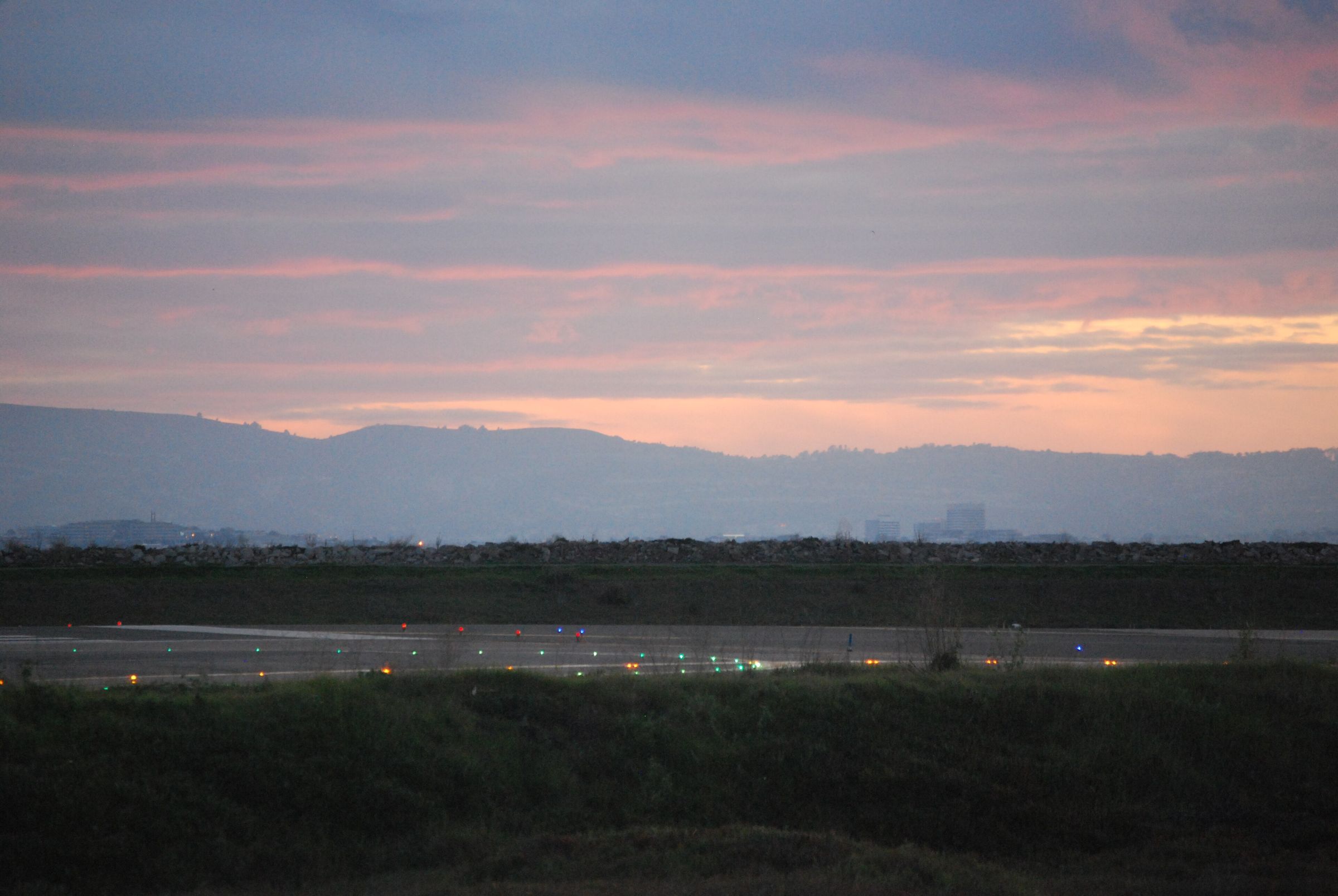
Regional airport · Kupang/Timor, Indonesia
Kupang/El Tari (Timor)
- Elevation
- 335 ft
- Coordinates
- 10°10′S 123°40′E
- Local time
- Asia/Makassar
Photo: Bill Abbott · CC BY-SA 2.0 · Wikimedia Commons
Field information
WATT runways, fuel & airport data
Reference data compiled from public aeronautical sources. Our OCC confirms the operational details for your flight before dispatch.
Kupang/El Tari (Timor) (WATT/KOE) has 2 runways; the longest, 07/25, is 8,202 ft (2,500 m) of asphalt. Fuel on the field: Jet A-1 & Avgas. Rescue and fire-fighting cover is published as RFFS category 7. Operating hours: 2130-1230Z. Our OCC arranges ground handling, landing permits and fuel at WATT, and confirms every figure on this page with the airport and handler before dispatch.
Classification
Regional airport
Time zone
Asia/Makassar
Country
Indonesia
ID
Municipality
Kupang
Elevation
335 ft
Position
-10.1716, 123.6710
Traffic level
High
Fuel
Jet A-1 & Avgas
Fire & rescue
RFFS category 7
Operating hours
2130-1230Z
Runways · WATT
| Runway | Length | Width | Surface | Lighting |
|---|---|---|---|---|
| 07/25 | 8,202 ft (2,500 m) | 148 ft | asphalt | Lighted |
| 12/30 | 4,175 ft (1,273 m) | 210 ft | graded earth | — |
Flight support
Ground handling, permits & fuel at WATT.
The Network Plan coordinates flight support at Kupang/El Tari (Timor) (WATT / KOE) in Kupang/Timor, Indonesia, through one 24/7 OCC desk. WATT is listed in our network as a regional airport. Before dispatch, our OCC verifies permit lead times, slot availability, and local handler capabilities.
Services coordinated at WATT
One 24/7 OCC desk
- 01
Overflight & Landing Permits – Indonesia
Efficient coordination of overflight, landing, ad hoc, and seasonal block permit applications with the civil aviation authority of Indonesia. Applicable permit lead times for Indonesia are confirmed by the duty dispatcher at the time of request. For airline operators, navigation fee verifications, overflight charge audits, and CAA account reconciliations for Indonesia are managed end-to-end.
- 02
Ground Handling at WATT
Direct FBO and handler coordination at WATT covering ramp parking, towing, GPU/ACU support, CIQ formalities, and real-time operational updates.
- 03
Fuel Arrangements at WATT
Competitive into-plane pricing, secure fuel releases, and credit arrangements through major oil suppliers and local distributors worldwide. Availability at WATT is confirmed by the duty dispatcher at the time of request.
- 04
Flight Planning & Dispatch to WATT
Optimized routing, weather analysis, NOTAM review, fuel planning, and flight plan filing supported by continuous 24/7 OCC monitoring. Planning reference for WATT: 10° 10′ 18″ S 123° 40′ 16″ E; elevation 335 ft.
- 05
Crew & Passenger Services in Kupang/Timor
Ground transportation, hotel reservations, visa assistance, and expedited meet & greet for crews operating into Kupang/Timor. Complete passenger handling coordination covering check-in, boarding, special assistance, and CIQ formalities at WATT.
- 06
Cargo Operations at WATT
Support for freighter operations into WATT covering ULD logistics, ramp and slot coordination, dangerous goods coordination, and rapid turnarounds.
Location
Where WATT sits in the network
Nearest airports in our network
- WATRRote Ndao/David Constantijn SaudaleRote Ndao, Indonesia50 NM225°→
- WPOCOecussi/Rota Do Sandalo International (Palaban)Palaban, Timor-Leste71 NM034°→
- WATAAtambua/A.A. Bere TalloAtambua, Indonesia98 NM048°→
- WATCMaumere/Fransiskus Xaverius SedaMaumere/Flores, Indonesia125 NM317°→
- WATEEnde/Ipi/Haji Hasan AroeboesmanEnde/Flores, Indonesia143 NM304°→
- WPDLDili/Pres Nicolau Lobato IntlDili, Timor-Leste147 NM049°→
Operating into WATT?
Our 24/7 OCC arranges permits, ground handling, fuel and crew support at Kupang/El Tari (Timor) — one desk for the whole trip.